COLOR MAPs with STATISTICAL DATA.
Create Free , Online Map Charts with Your Own Statistical Data, Easily.
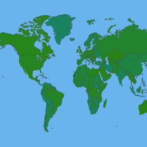
Create World Maps Charts
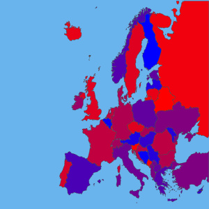
Create Continent Maps Charts
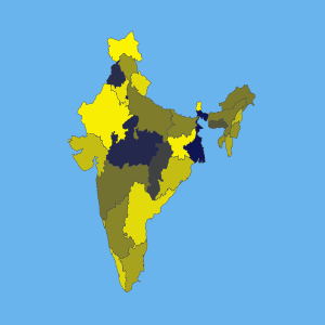
Create Country Maps Charts
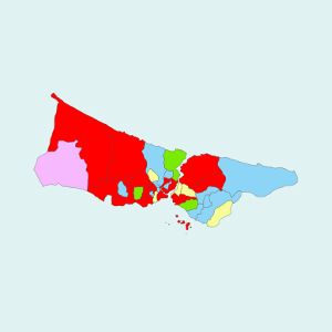
Create City & Region Maps Charts
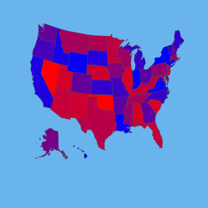
Create USA Maps Charts
Statistics on Maps
Blank Maps of The Countries
3D Stereogram Maps of The Countries
USAGE AREAS
You can use colored map charts with statistics in many areas.
For example :
* Reportings, in the student homeworks, power point presentations,
* Bussiness projects, personal blogs, web pages,
* Academic works, social media accounts, data visualization,
* Visited countries map, election results map,
* Geography, cartography works ... etc.
PAINTMAPS.com is a free, online, interactive map chart generating tool.
General Informations for Countries
Map Blog
Online Map Tools
Vector Maps
User Maps (Public)


 PAINTMAPS.com